


-
 Upper Chesapeake Bay MAPTECH® Waterproof Chartbook 1st EditionMAPTECH Upper Chesapeake Bay Waterproof Chartbook has 70 pages of full-color navigation charts covering Chesapeake and Delaware Bays. Includes the Delaware River to Philadelphia, the C&D Canal, and the Chesapeake Bay to Solomons Island including navigable tributaries. Features: Waterproof, Tear-resi...$79.00
 -
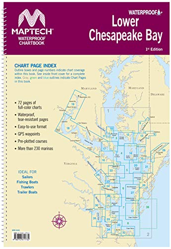 Maptech Lower Chesapeake Bay Waterproof Chartbook 1st EdMAPTECH Lower Chesapeake has 72 pages of full-color navigation charts covering Chesapeake Bay from Solomons Island south to Norfolk, VA. including The Potomac River and other navigable tributaries. Features Waterproof, tear-resistant pages and an easy-to-use format with many GPS Waypoints and pre-pl...$78.00
 -
 Norfolk, VA, to Florida and the Intracoastal Waterway ChartKit Region 6 14th EditionMAPTECH ChartKit Region 6 Norfolk, VA, to Fernandina Beach, FL, inside and outside. Includes ICW navigation advice and Bridge Table. Full-color charts, GPS waypoints, Magnetic courses and distances, 22" X 17", 74 chart pages. Features include: Multiple Chart Scales-Offshore, Coastal Harbors, and Inl...$139.90