
 Twitter
 Facebook
 Google+
 Pinterest
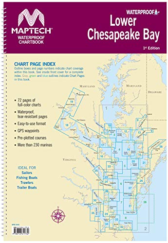
Maptech Lower Chesapeake Bay Waterproof Chartbook 1st Ed
$78.00
Maptech® Part#: WPB0440-01 - Maptech Lower Chesapeake Bay Waterproof Chartbook 1st Ed
MAPTECH Lower Chesapeake has 72 pages of full-color navigation charts covering Chesapeake Bay from Solomons Island south to Norfolk, VA. including The Potomac River and other navigable tributaries. Features Waterproof, tear-resistant pages and an easy-to-use format with many GPS Waypoints and pre-plotted routes with labeled nautical mileage and magnetic bearings. Also includes information on over 230 marinas. Ideal for Sailors, Fishing Boats, Trawlers, Trailer Boats.EAN:
- 9780743611732
- Manufacturer: Maptech®
- Part Number: WPB0440-01
- Label: MAPTECH®